

Wisconsin is home to the 1,200-mile Ice Age National Scenic Trail which extends east to west across the state. I’m fortunate to have some incredible Ice Age Trail Segments near Madison.
You may wonder: How was the trail outline determined? When the glaciers melted many epochs ago, they stopped melting in Wisconsin and the Ice Age Trail represents the edge of their furthest advance across the state.
Although not as famous as other national scenic trails like the Appalachian Trail or the Pacific Crest Trail, the Ice Age Trail did become an official unit of the National Park Service on December 7th 2023.
Starting from the west end of the state along the Mississippi River, the Ice Age Trail runs through several distinct parts of Wisconsin, dipping into the Madison, Janesville, and Waukesha areas before turning back north and heading towards its eventual eastern terminus in Door County.
The trail runs through fields, forests, meadows, and woods, but also passes through urban areas like town streets and paved bike paths. Only about 700 miles of the trail are on dedicated off-road trails. The remaining 500 miles follow country roads, county highways, and city streets.
This post explores the best segments of the Ice Age Trail near Madison, WI and common questions I receive regarding the trail.
When you make purchases through the links in my post, I may earn commissions at no additional cost to you. As an Amazon Associate I earn from qualifying purchases. As always, I only provide links to products and services I recommend.Read my full disclosure here.
Ice Age Trail Segments Near Madison
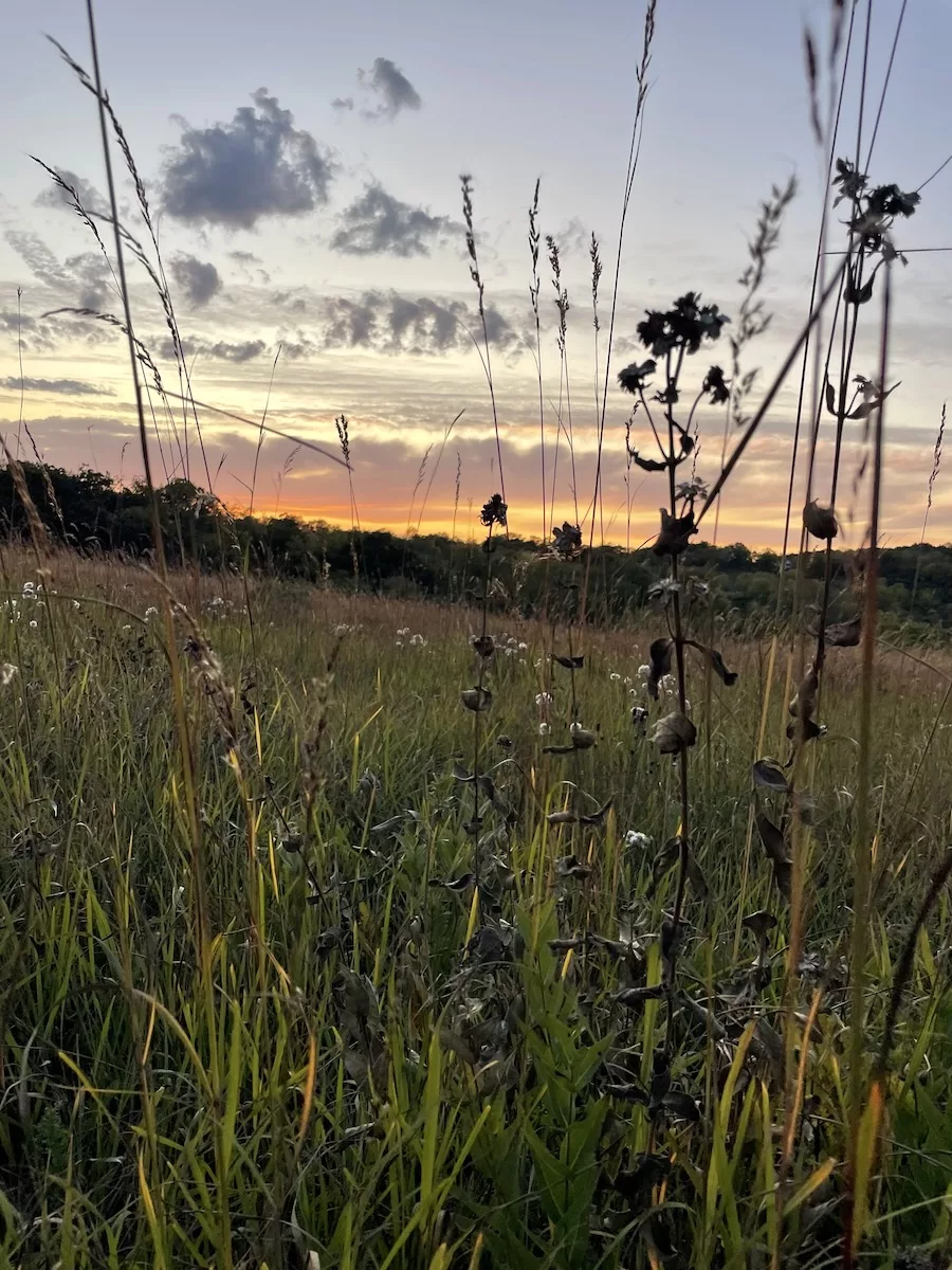
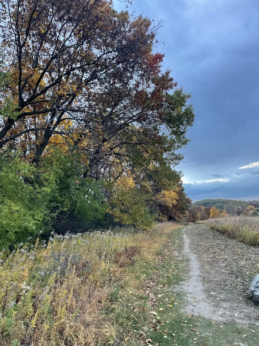
Table Bluff Segment – Cross Plains
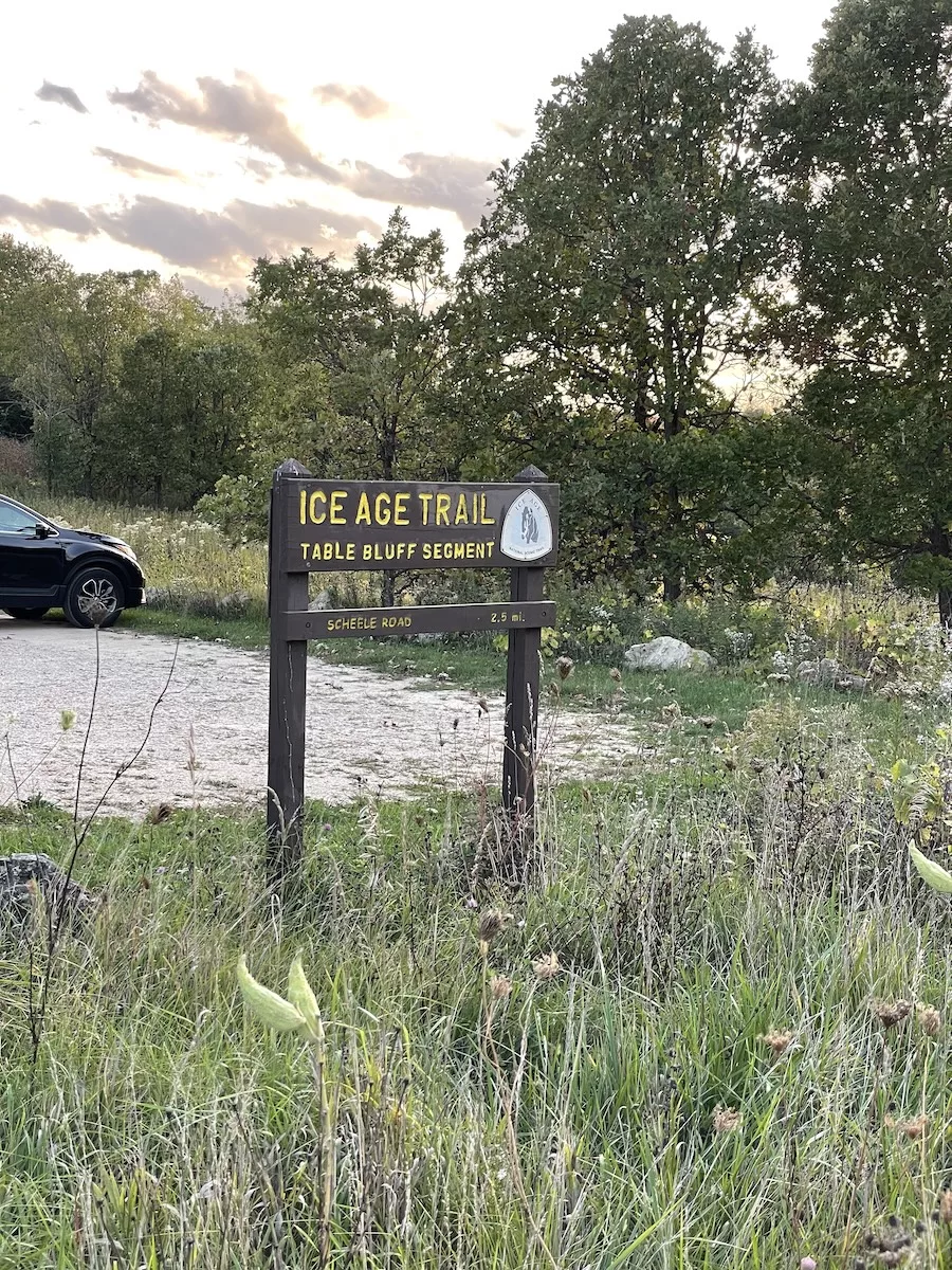
Distance: 2.5 miles
Difficulty: Moderate
Highlights: The Table Bluff Segment is my favorite Ice Age Trail segment near Madison to watch the sunset. This portion is a quiet, hidden gem just 30 minutes outside of Madison. There are also picnic tables and overlooks with incredible views of the area.
Once you’ve had your fill of outdoor adventure, head to The Creekside Scoop in downtown Cross Plains for a scoop of ice cream or a milkshake that’s more of a work-of-art. If you’re winding down for the day and prefer something with a little more kick, Nineteen09 Wine Bar offers the perfect local atmosphere to sip and relax.

Parking at this segment is hassle-free, with gravel lots at both ends of the segment.
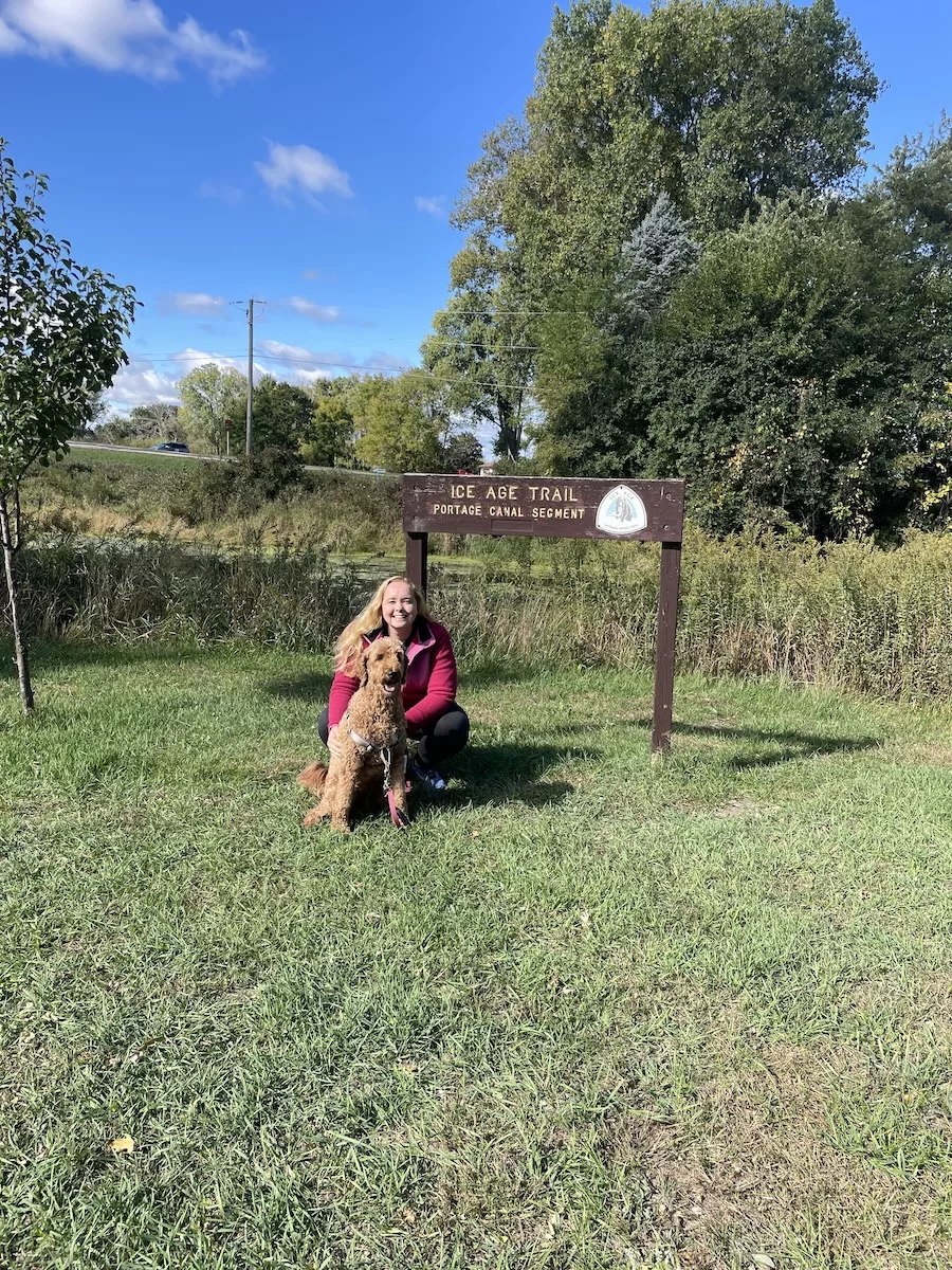
Portage Canal Segment – Portage
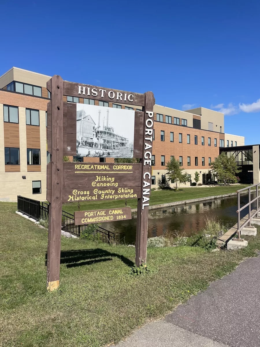
Distance: 3 miles
Difficulty: Easy
Highlights: A relatively easy and very family-friendly segment of the Ice Age Trail runs through the small town of Portage, WI. Located less than an hour north of Madison, this 3 mile segment of trail is all paved. You’ll be walking on the roadside, bike path, or sidewalk. It’s a very quiet, flat and beautiful section of trail.
I love that this section goes through so many parts of Portage so you get to experience a neighborhood, the downtown area, and the recreational side of the town. The entire section was very open and populated so I would feel safe completing this segment alone.
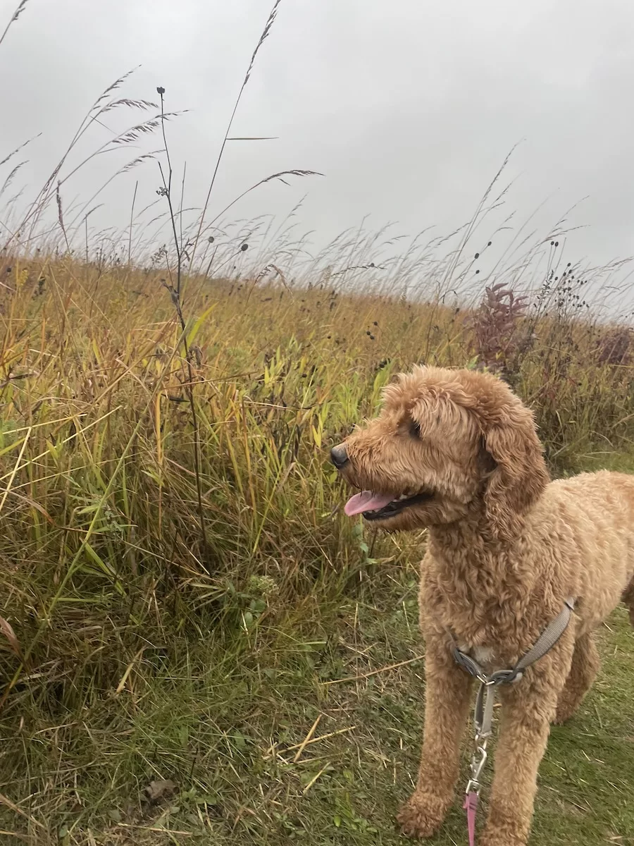
I completed this section with my mom and my dog, Willow. Because my mom only wanted to do four of the total six miles, we planned the half-way point in Downtown Portage so she could grab lunch at a local restaurant while Willow and I finished the segment. We then met her for food and picked her back up on our way back through downtown. This plan also worked out great as it provided us several options to use the bathroom.
There is parking available at the south end of the STH-33 Wisconsin River Bridge or the Agency House Road. I parked at the latter and it was very easy to find.
After your hike, consider stopping for a taco and margarita flight at Nacho’s Mexico Restaurant or one of the many options in Historic Downtown Portage.


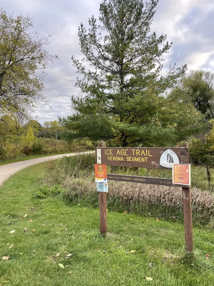
Verona Segment – Verona
Distance: 6.4 miles
Difficulty: Easy/Moderate
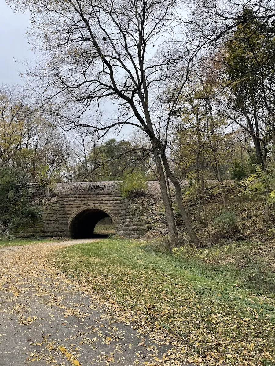
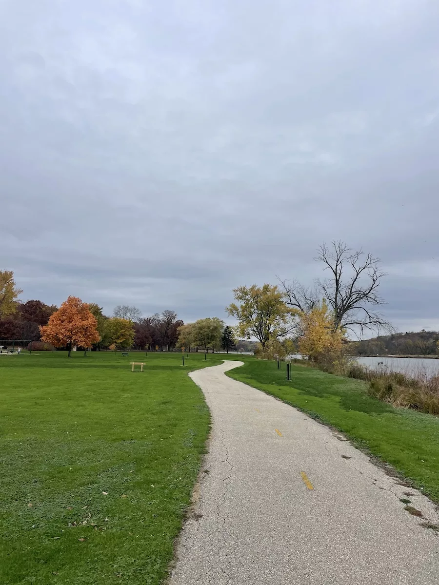
Highlights: The Verona Segment of the Ice Age Trail is close to home and one of my favorites. It’s 6.4 miles and includes a diverse mix of landscapes, including parks, woods, and neighborhoods.
While some portions of the trail are flat, such as the section along the Military Ridge Trail, other sections are much more difficult and include rolling inclines and unstable terrain.
I completed this segment during the fall season and I loved the fall leaves crunching beneath my feet as I hiked this portion of trail. There are also several locations that are the perfect photo opportunity.
Coffee lovers can head to Hodge Podge for a delicious coffee flight (or evening cocktail) or The Sow’s Ear for a tasty breakfast. My favorite spots during an afternoon hike are AzTec Taqueria and Grace Coffee. You’ll even have the opportunity to stop at the Verona Public Library along this segment of Ice Age Trail.
Janesville Segment – Janesville
Distance: 10.4 miles
Difficulty: Easy
Highlights: While the Janesville Segment of the Ice Age Trail starts in Riverside Park, you quickly leave the park as you start on the Kiwanis Bike Trail. You’ll likely encounter other walkers, bikers, and runners, especially during the warmer seasons. During the summer months, you’ll find a bench along the trail where you can watch the Rock Aqua Jays water ski team practice and perform.
Continue along the trail which consists of sidewalks and bike paths and you’ll eventually venture onto the Spring Brook Bike Trail. Finally, you’ll pass the Blackhawk Golf Course before reaching a shopping center consisting of stores like Walmart and Sam’s Club.
While in Janesville, don’t miss out on some of the area’s awesome things to do. Two of my favorites are the Rotary Botanical Gardens and the Lincoln-Tallman House. In downtown Janesville, enjoy the many boutiques and local shopping options and grab a bite to eat at The Bodacious Brew or Drafthouse.
If you’re hiking during the holiday season, check out the festive things to do in Janesville during the Holiday Season.
Dogs are not allowed in Janesville Parks from May 15 – September 15 and you’ll find plenty of parking for this trail along the entire segment.
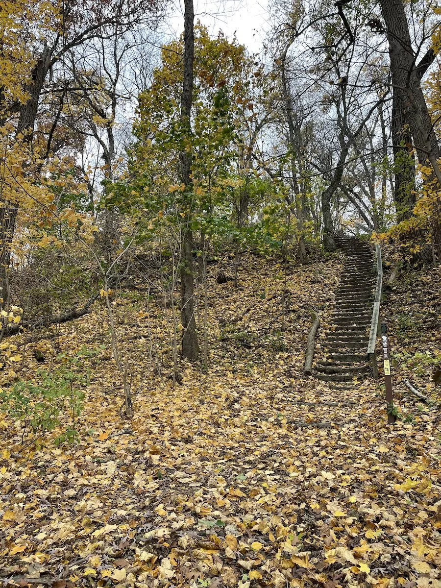
Devil’s Staircase Segment – Janesville
Distance: 1.7 miles
Difficulty: Moderate
Highlights: Another beautiful section of the Ice Age Trail in Janesville, WI is the Devil’s Staircase Segment. The trail begins by traversing a golf course and railroad crossing before entering a wooded portion. The initial one-half mile of this segment was originally created by the Civilian Conservation Corps and was eventually re-done by the Ice Age Trail Alliance.
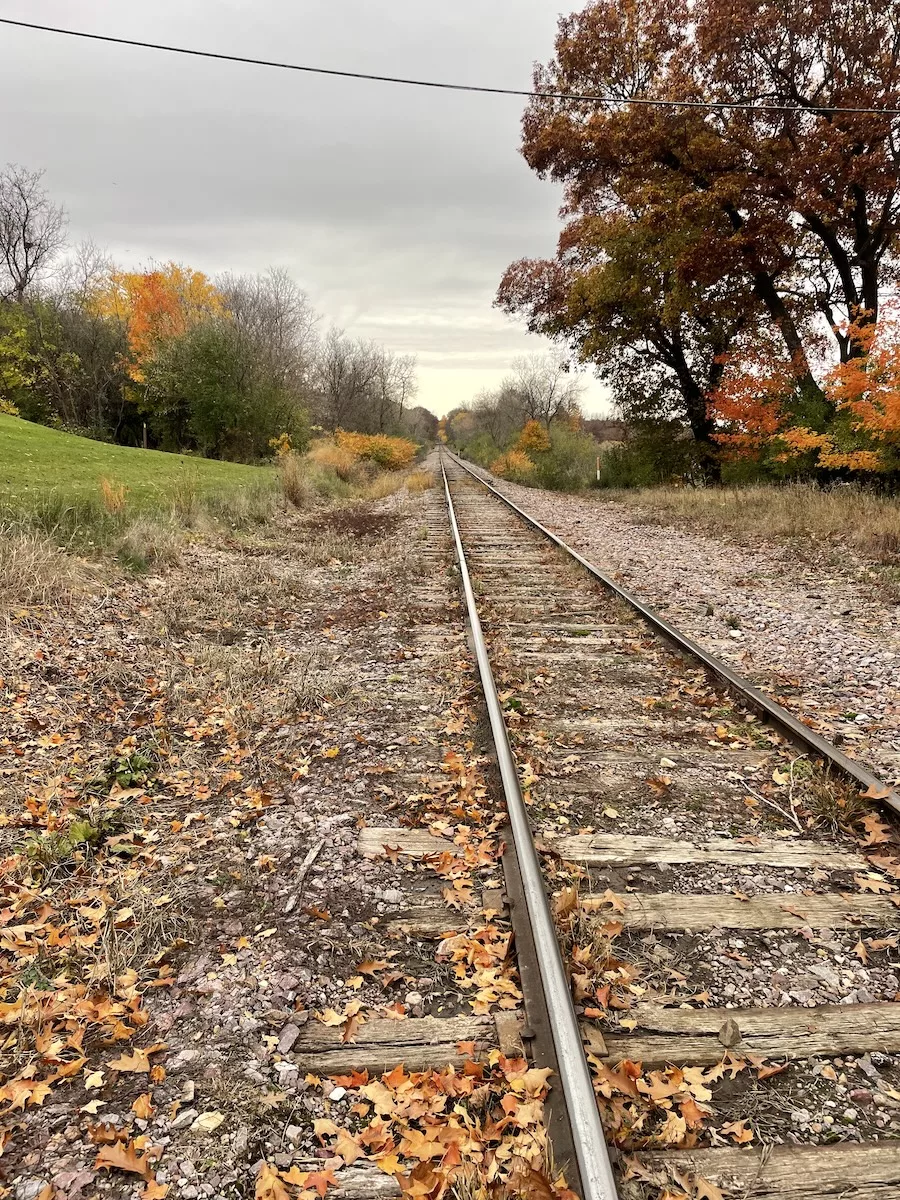
The first portion provides gorgeous views of the Rock River while making you feel like you are far from the city. While beautiful, this portion is very narrow and can become crowded in the summer months so use caution if you are afraid of heights or hiking with small children or pets.
As you descend the wooded portion, you’ll reach the famous feature – Devil’s Staircase – and continue following the Rock River through Riverside Park for a few miles.
Please remember that dogs are not allowed in Janesville Parks from May 15th through September 15th.
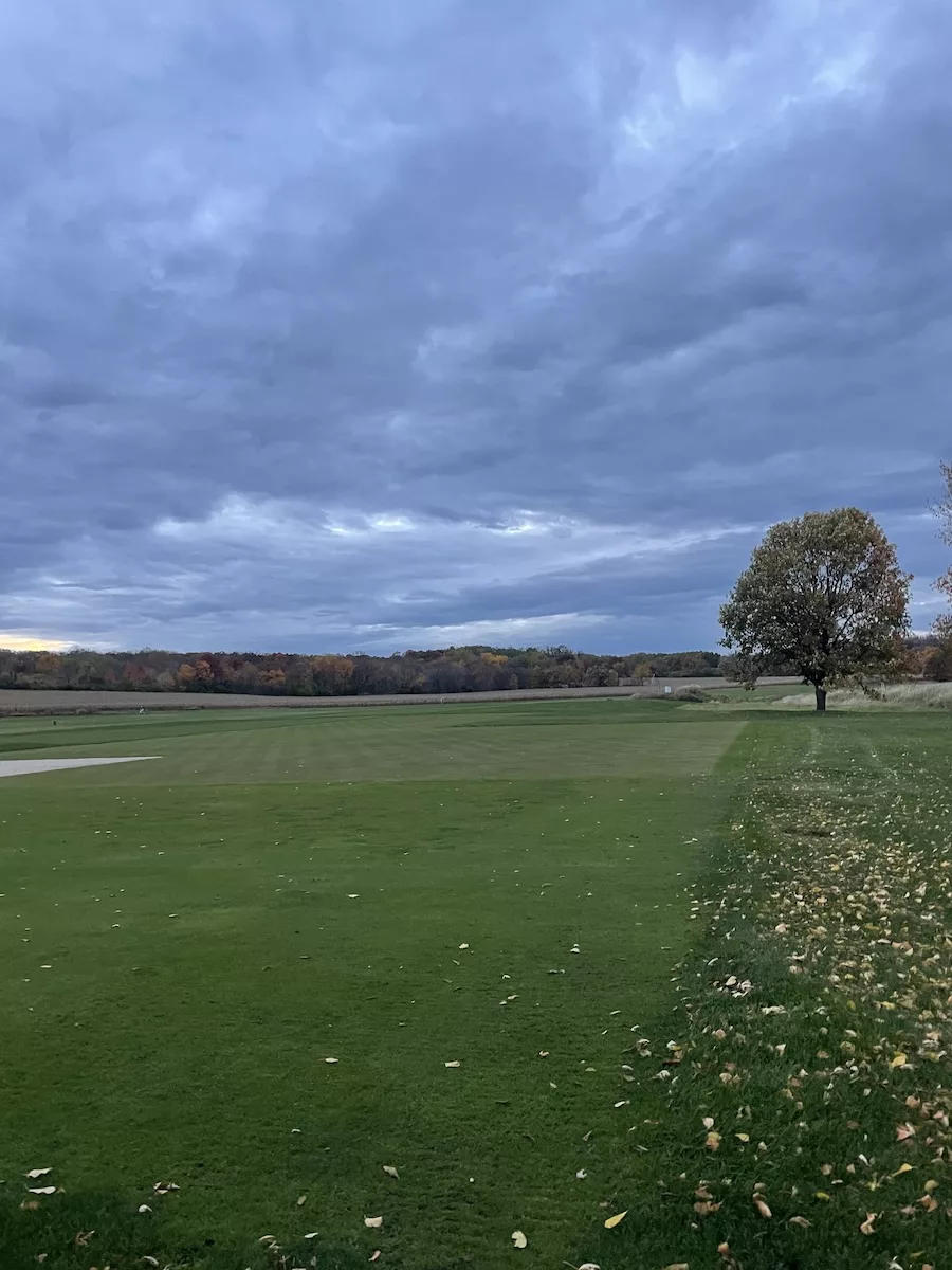
Madison Segment – Madison
Distance: 3.2 miles
Difficulty: Easy
Highlights: The Madison Segment of the Ice Age Trail is truly unique as it traverses University Ridge, which is the University of Wisconsin’s golf course. Because part of this segment is actually on the course, no dogs are allowed so you’ll have to leave your pups at home for this section of the Ice Age Trail.
During operating hours, Ice Age Trail users are welcome to venture into the clubhouse for water, restrooms, and to purchase snacks.
I love this segment because the golf course makes it so unique, but this section also includes a mix of other landscapes like wooded areas and paved bike paths. It’s also very easy to access from several neighborhoods in Madison.
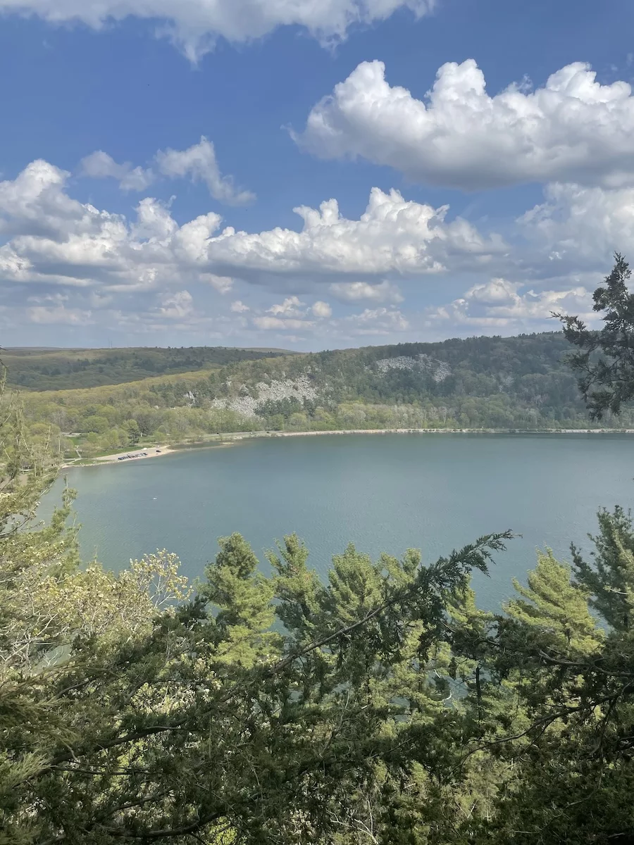
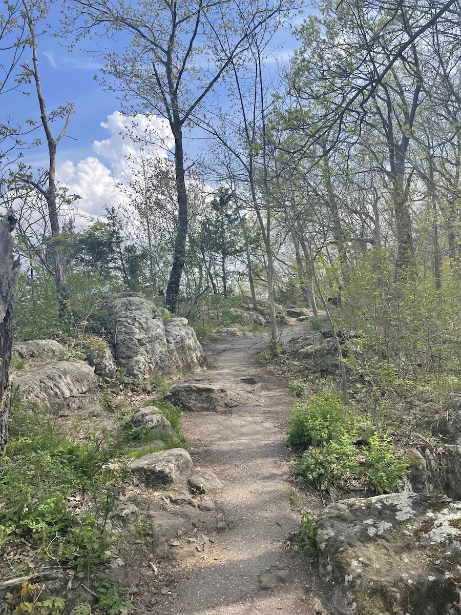
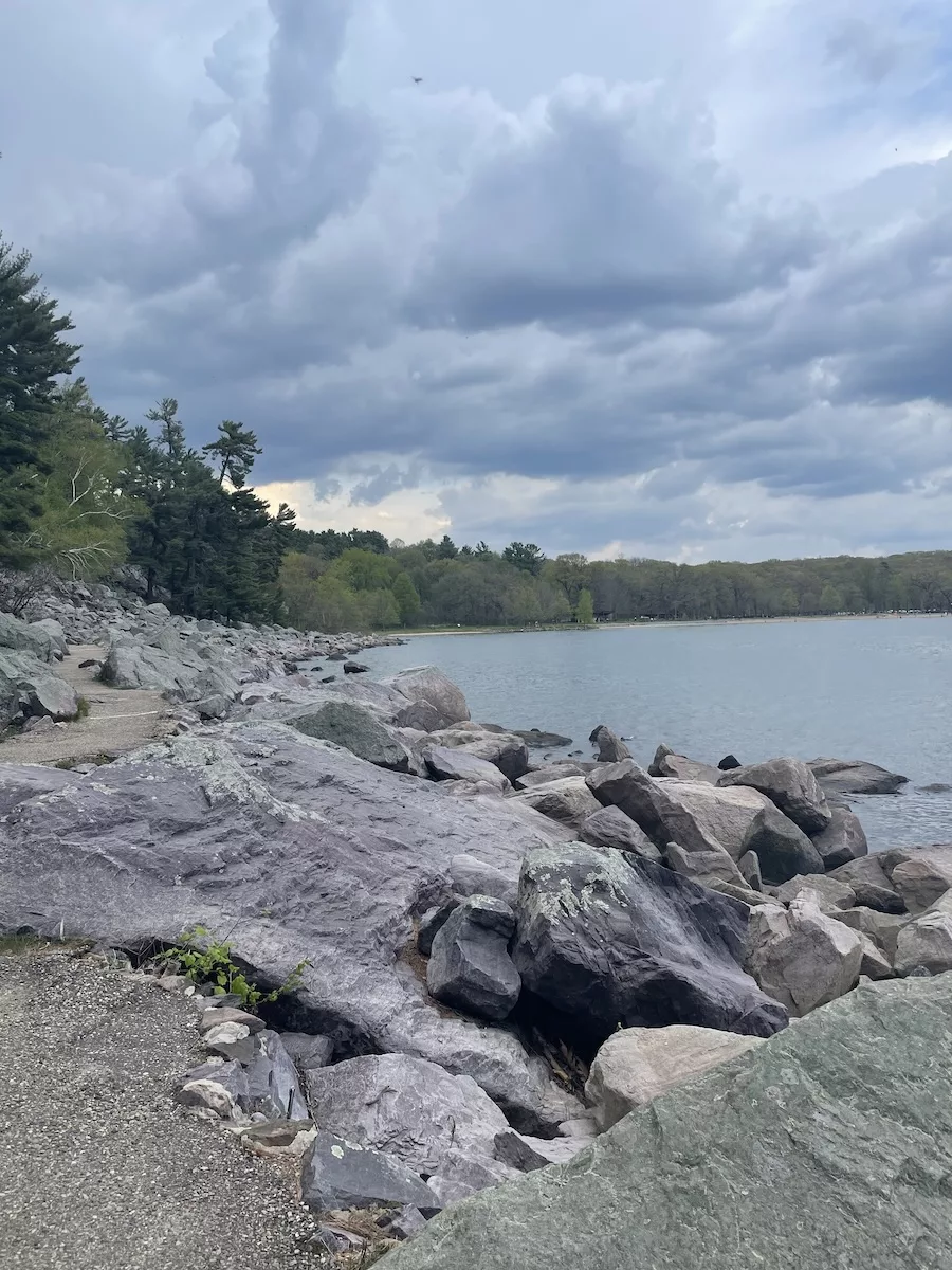
Devil’s Lake – Baraboo
Distance: 10.9
Difficulty: Hard
Highlights: Devils Lake State Park is the largest and most popular state park in Wisconsin so it’s no surprise that a section of the Ice Age Trail runs through it. This segment is an exhilarating challenge that rewards every ounce of effort with breathtaking vistas and natural beauty.
Because of the park’s popularity, parking at Devil’s Lake State Park can get competitive, especially during the summer rush. To sidestep the possibility of roadside parking and the frustration of long waits, I suggest arriving early. I also highly recommend purchasing an annual park pass in advance so you don’t have to wait in line at the ranger station upon arrival.
Once on the trail, the difficulty level ratchets up, but so do the rewards. The Devil’s Lake Segment is famed not just for its rugged terrain but also for the panoramic views.
After a day spent ascending rocky outcrops and marveling at the landscape, head to Tumbled Rock Brewery and Kitchen or Balanced Rock Winery for a drink and a snack.
Where to Stay to Access these Ice Age Trail Segments
Ice Age Trail FAQs:
What is the Ice Age Trail?
The Ice Age Trail is a National Scenic Trail fully in Wisconsin that is equal in status to the other scenic trails like the Appalachian or Natchez Trace Scenic Trails. The trail is an official unit of the National Park Service.
How Long is the Ice Age Trail?
While the trail is not yet fully completed, the route will eventually be about 1,200 miles.
Is There a Fee to Use the Trail?
Although part of the National Park Service, there is no fee to use the Ice Age Trail and an America the Beautiful National Park Pass is not required. Parking is also free, unless you are entering the trail from a state park which requires a WI state park pass.
Where Does the Ice Age Trail Start and End?
The Eastern Terminus of the trail is in Potawatomi State Park in Door County near Lake Michigan and the trail’s Western Terminus is in Interstate State Park in Polk County, near Minnesota.
Are Dogs Allowed on the Ice Age Trail?
Leashed dogs are allowed on a majority of the trail, but there are some portions of the trail where dogs are not permitted. For example, the section of trail in Madison that passes through the golf course does not allow dogs and Janesville Parks do not allow dogs from May 15th through September 15th.

1 thought on “7 Top Ice Age Trail Segments Near Madison”
Nice post. I feel like a slug if your mom is doing four miles. At the moment I couldn’t.